Weekend Warrior Bikepacking
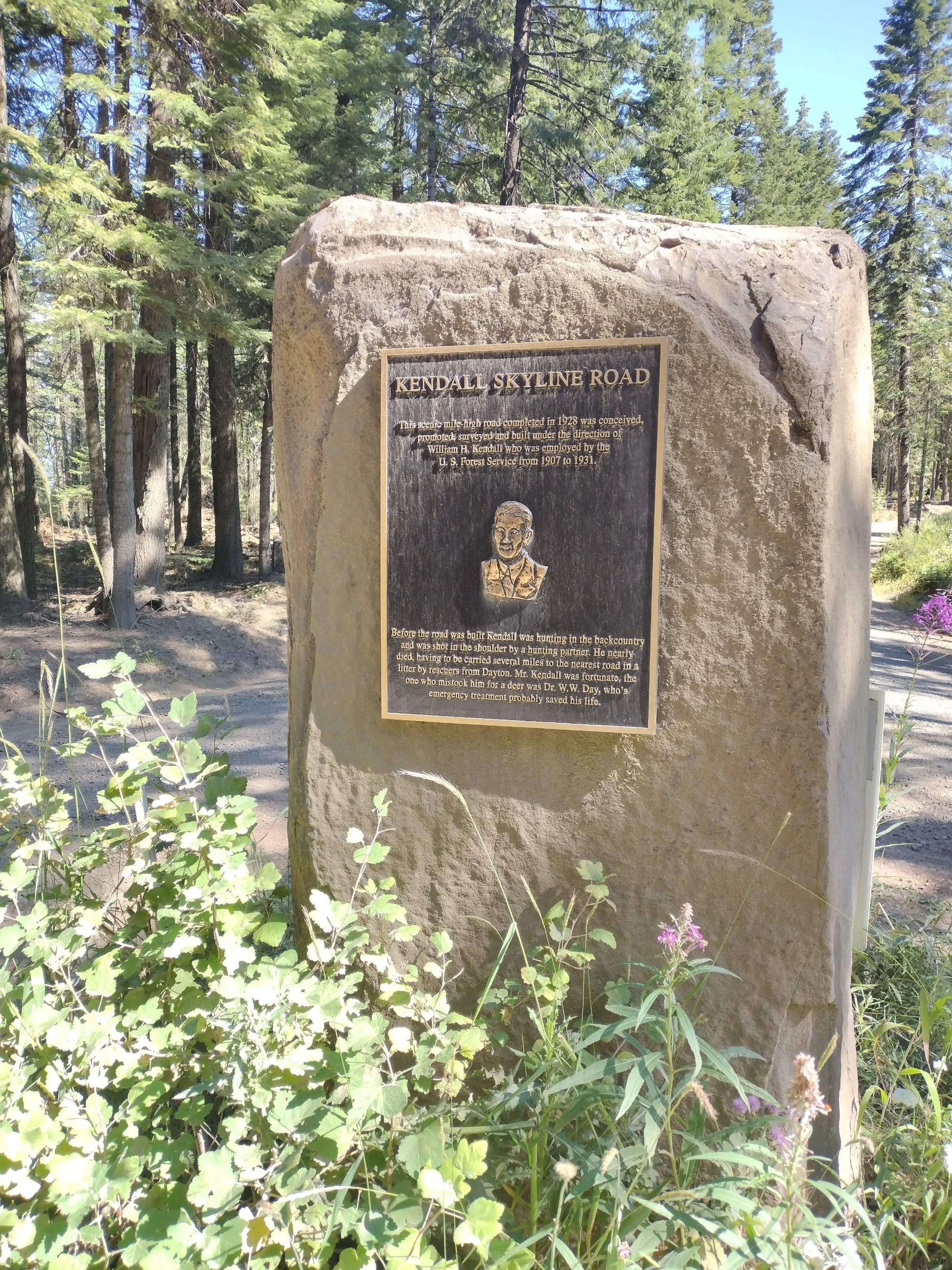
Kendall Skyline Monument
Note: This blog post will include some of my personal historical context that won’t really mean anything to most people, but I’ve included it in my story because those memories brought so much more meaning to this ride.
This past weekend I loaded up the bike for an adventure weekend warrior ride through the northern Blue Mountains in SE Washington and NE Oregon. Last fall I completed a 3-day/2-night bikepacking loop through the Southern Blue Mountains starting and finishing that loop from La Grande, OR. Soon after completing that loop I planned another route along the length of the Kendall Skyline Road which runs from near Dayton, WA on the north end to Tollgate, OR on the south end. The full Skyline road continues all the way south to Mt. Emily just outside La Grande, OR with a total mileage of near 100 miles along the ridgecrest of the Blue Mountains. Since we rode the southern portion last fall, I wanted to give the northern section a go this summer. The loop I planned was about 150 miles and I started and finished in Walla Walla, WA.
Climbing up out of Dixie, WA
I only had the 2-day weekend available and the weather looked favorable, so I decided to tackle the loop. My plan was to ride almost 70 miles on Saturday and camp at Godman campground and then complete the remainder of the loop on Sunday back to Walla Walla via Tollgate and Milton-Freewater. It was an ambitious plan, but hey I’m a XWA veteran so it can’t be that hard, right? Turns out that it was pretty hard for 2-days and three would be more comfortable, but I got it done.
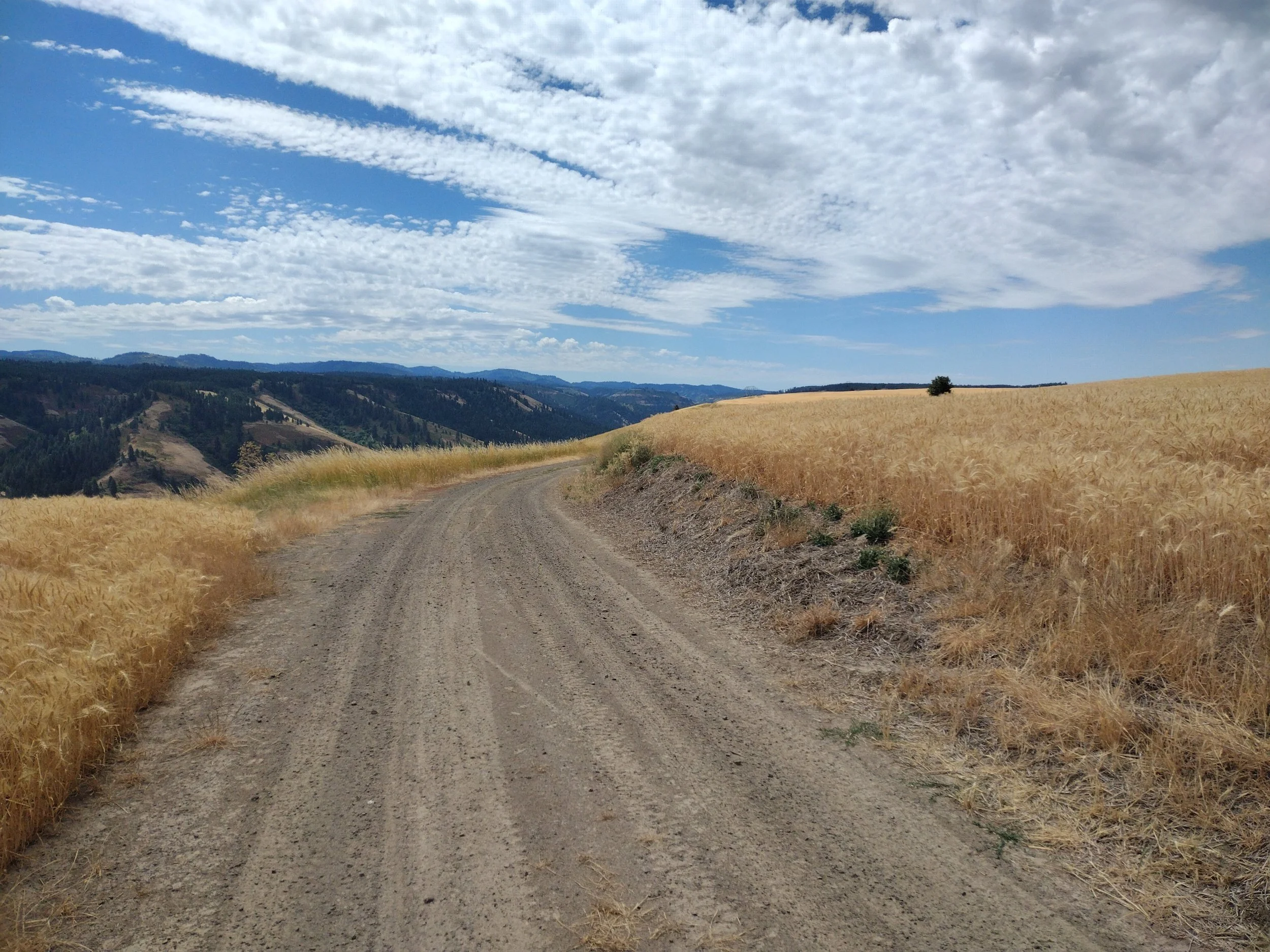
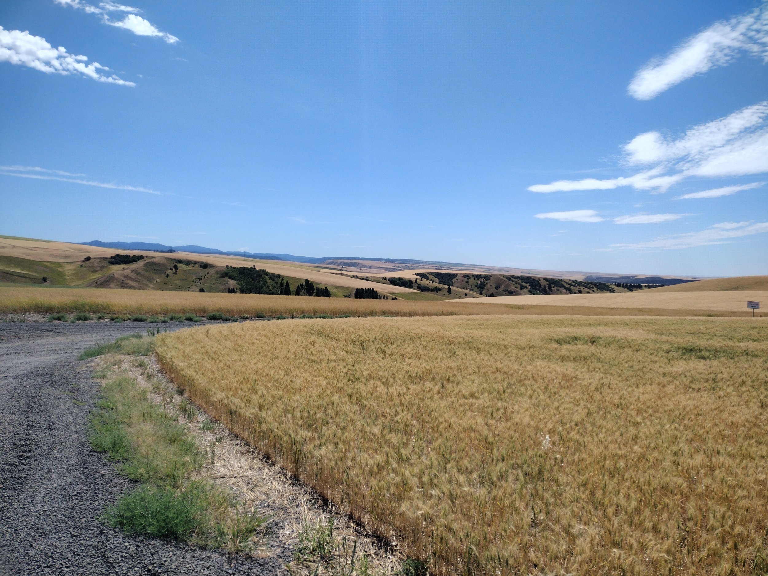
I wasn’t really stoked about the idea of riding the highway from WW to Dayton so I planned a backroad route that climbed up the foothills outside of the small town of Dixie, WA. When I was young, my Dad used to work harvest jobs during the summer based out of WW. On occasion, he would take me along in the farm truck visiting fields all along the WW valley. If we passed through Dixie we would always stop at the store and get an ice-cream. I didn’t stop this time since it was only a few miles into my very long day on the bike, but it brought back some old memories. From Dixie I turned off the highway and started a long 2600ft climb into the foothills. These were quiet farm roads and good gravel surfaces. One observation that I made riding this section was the vast majority of “No Trespassing/Private Property” signs. All of the landowners here don’t want people to mistake their property for public National Forest lands and it was abundantly evident. After cresting the first climb I had a really enjoyable descent along the ridge looking down into the South Fork of the Touchet River canyon. I could also look across the canyon to see the ridgelines further East that I would be riding later in the afternoon/evening.
Looking Towards S. Fork Touchet River
The downside of enjoying the amazing descent into Dayton was that I was reminded that I was descending elevation I would climb again after Dayton (who had that brilliant route idea anyway?). I arrived Dayton right around lunch time and found a place to get pizza and an ice-cold drink. I filled all of my water here as I knew I had a long hot climb ahead with many miles before I could get water again.
Descending PettyJohn Grade
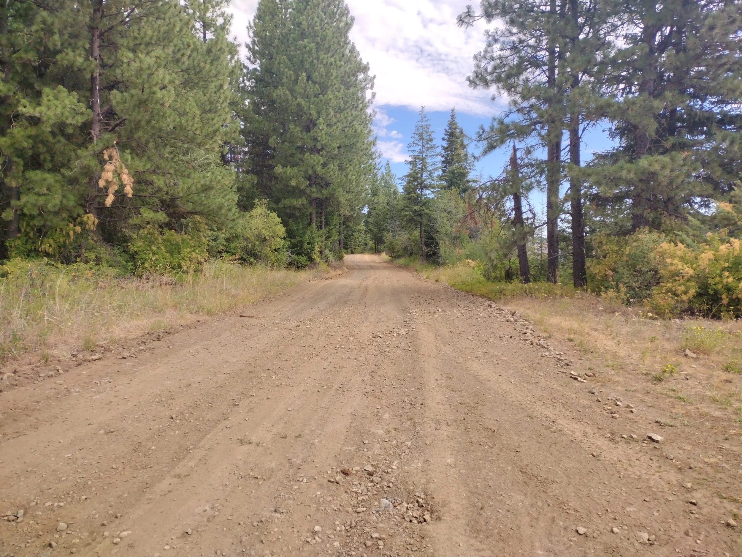
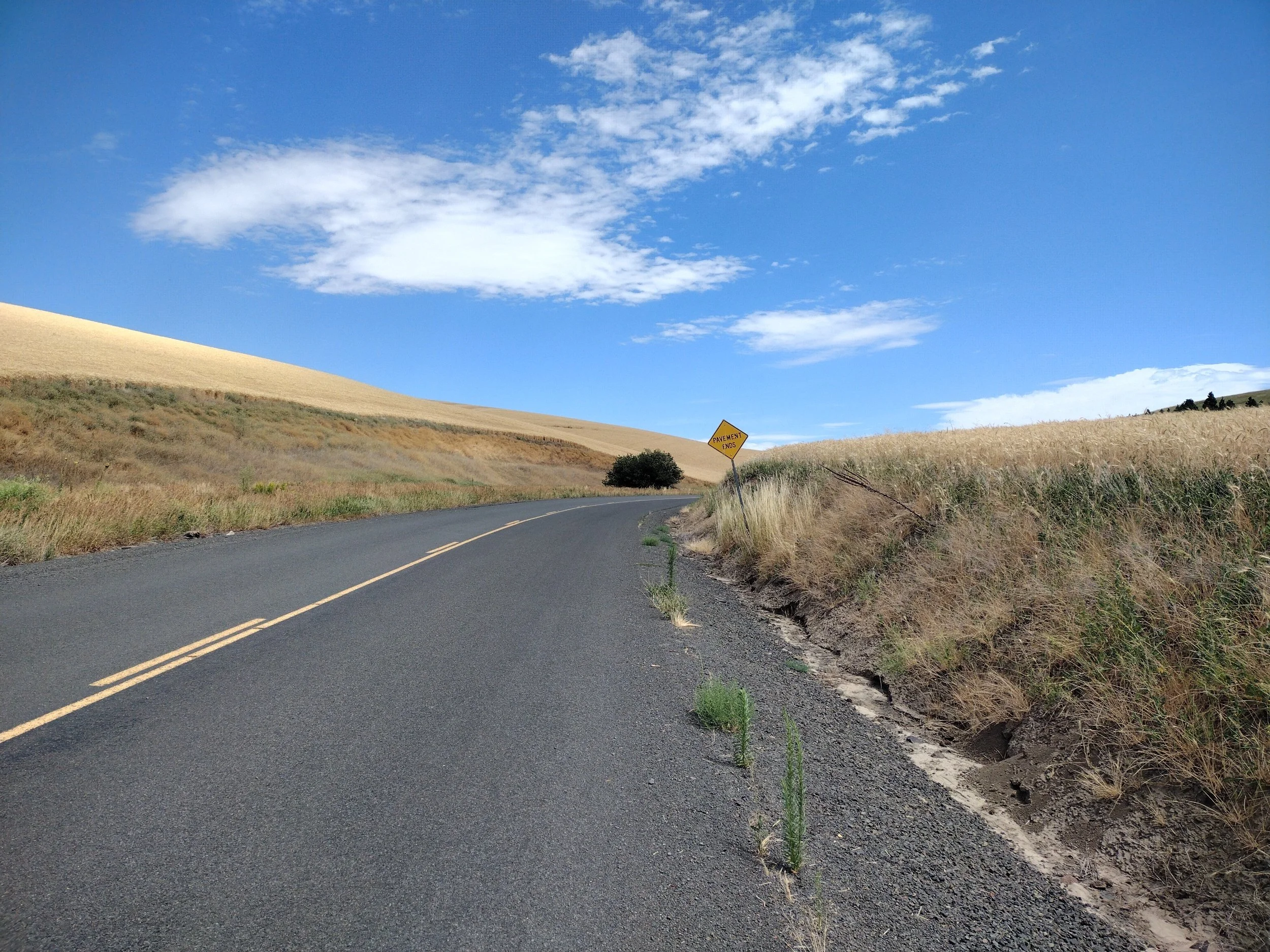
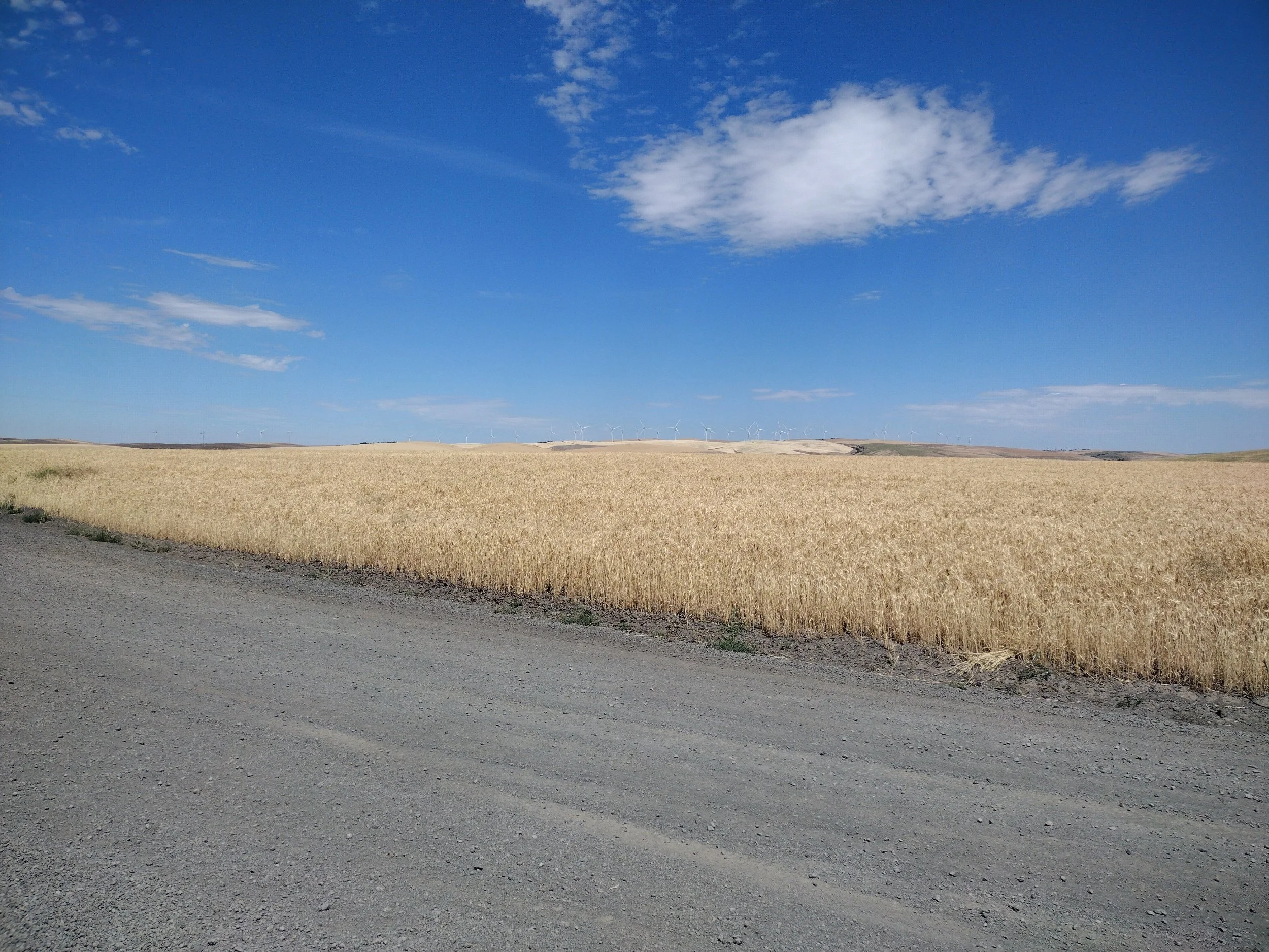
After Dayton it’s a long slog of a climb back up into the Blue Mountains and eventually onto the Kendall Skyline Road. The road was built in 1928 and provides a sliver of legal bike access to this area (more on that later). One of the unique aspects of this ride is the stark contrast between the lower elevations that are primarily farmland consisting of golden wheat fields (in late summer) and the upper elevations in the mountains where there are typical PNW pine forests. I had a hot dry slow climb riding from Dayton but eventually I got back into the forest and enjoyed some shade and cooler riding.
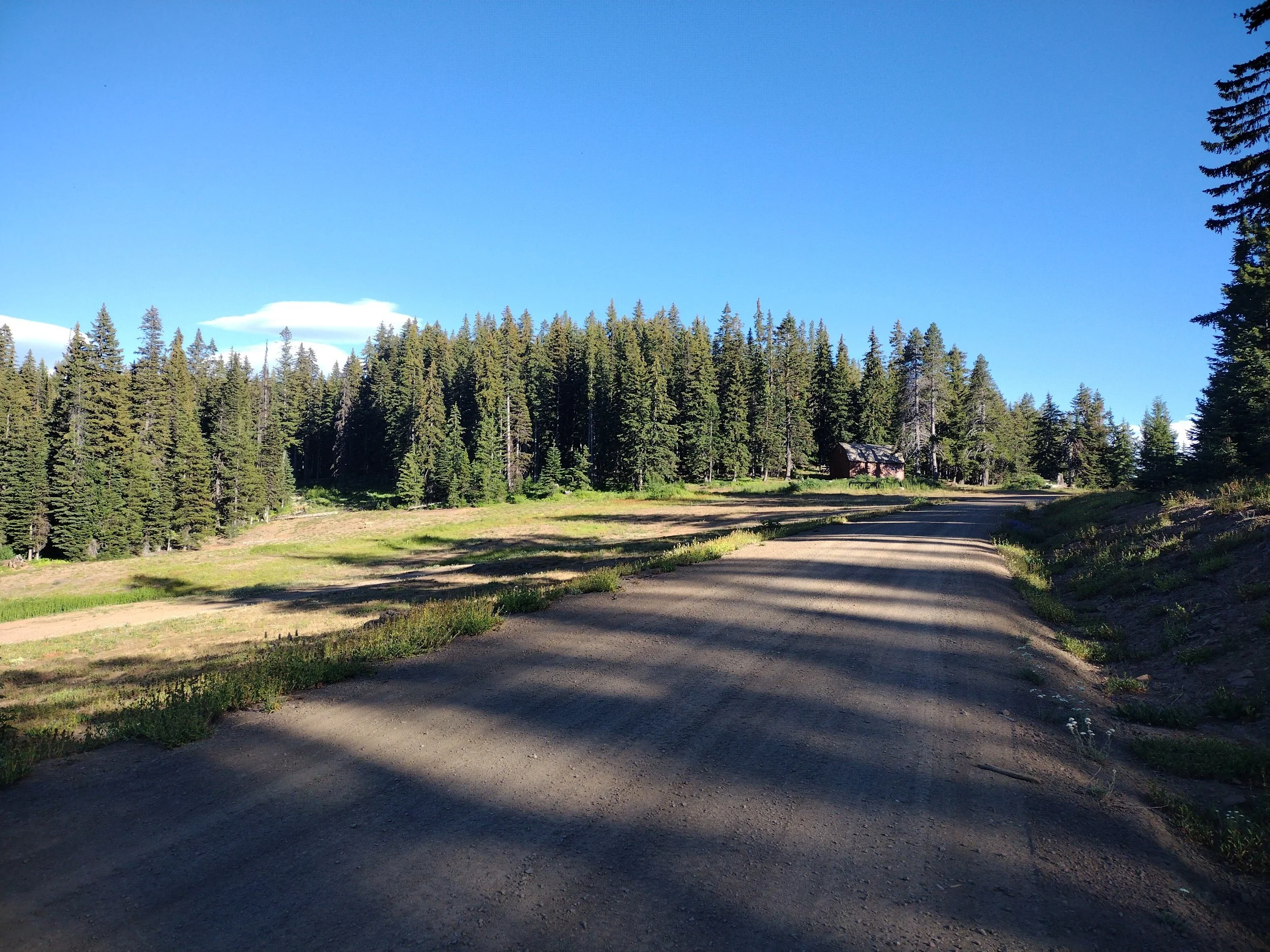
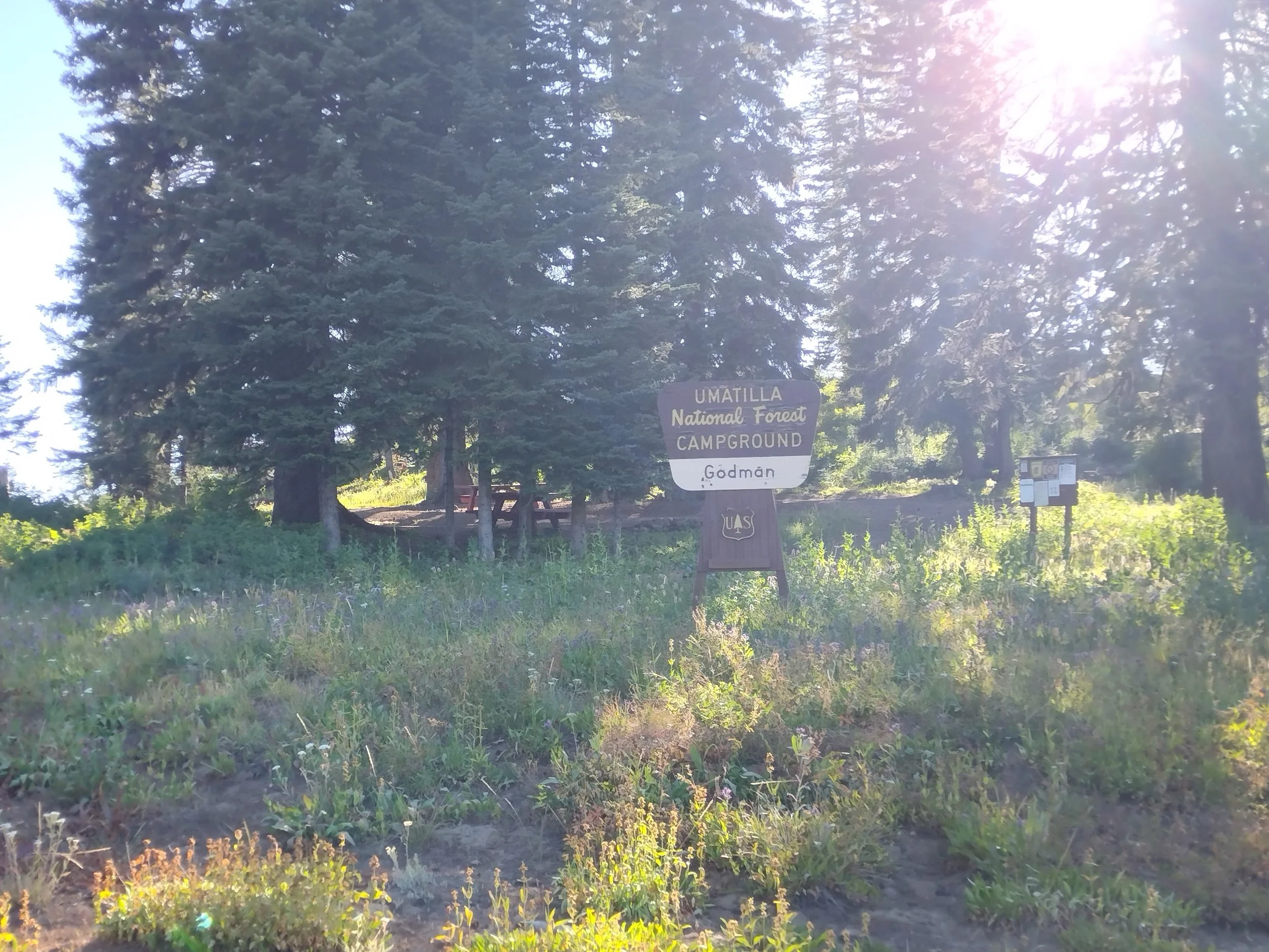
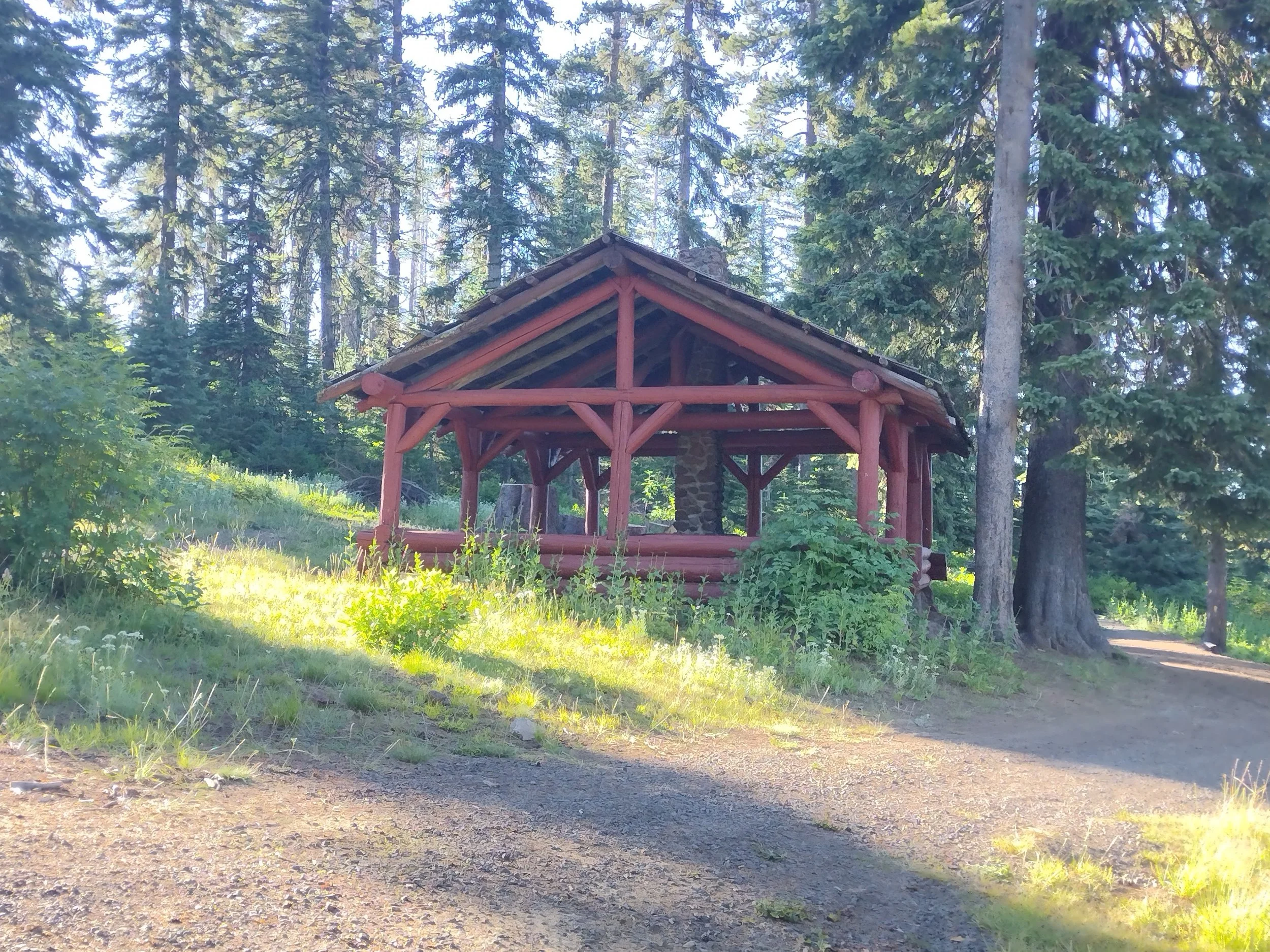
Godman Guard Station
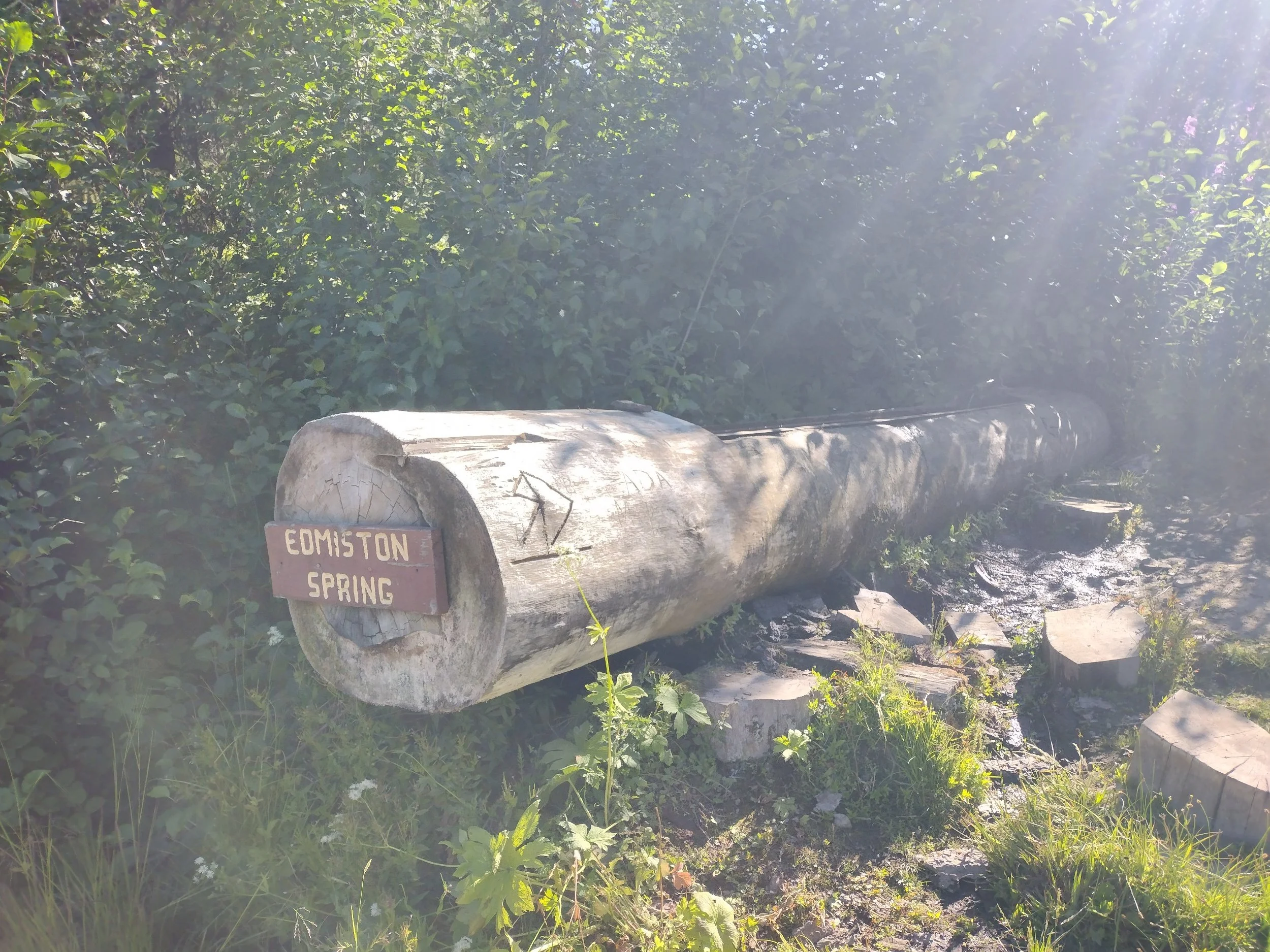
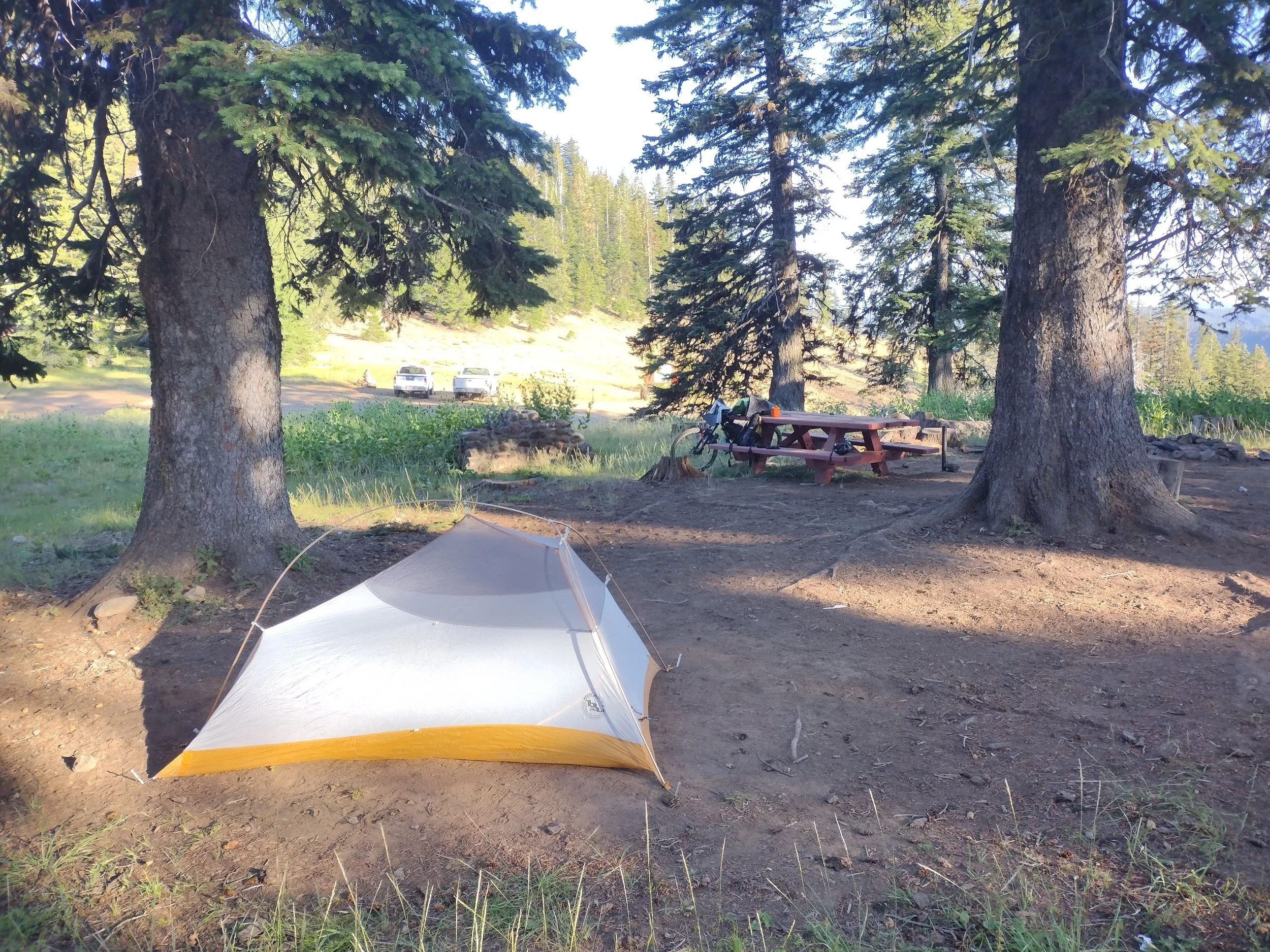
After a long day of riding I finally made it to Godman campground and had plenty of daylight remaining to relax a bit and setup camp. There is a nice spring here with a good flow of cold water that is just across the road from the campsites. There is also an old Forest Service Guard Station cabin that can be rented for overnight stays. I had the campground to myself, but there was a family staying at the cabin. I got my camp setup, filled some water and then sat down for some leftover pizza for dinner. I also did some walking around to explore and found a few ripe huckleberries near my camp. I crashed pretty early as I was beat from the long day and also wanted to get an early start the next day. I did get up later in the night and saw an amazing display of stars as there was no moon and clear sky!
My Campsite
The next day I got up a bit after 5am and made some coffee and oatmeal for breakfast. I even picked some fresh huckleberries to add to my oatmeal. I got my camp packed up and all my gear loaded on the bike and got rolling a bit after 6am. The first section that morning was really nice riding with some great views and nice downhill cruising. The Skyline road passes right by the summit of the Bluewood Ski Area which is where I grew up skiing and have skied there many times in the winter. I had to stop and take a summer photo of one of the ski signs and my bike.
Bluewood Ski Sign
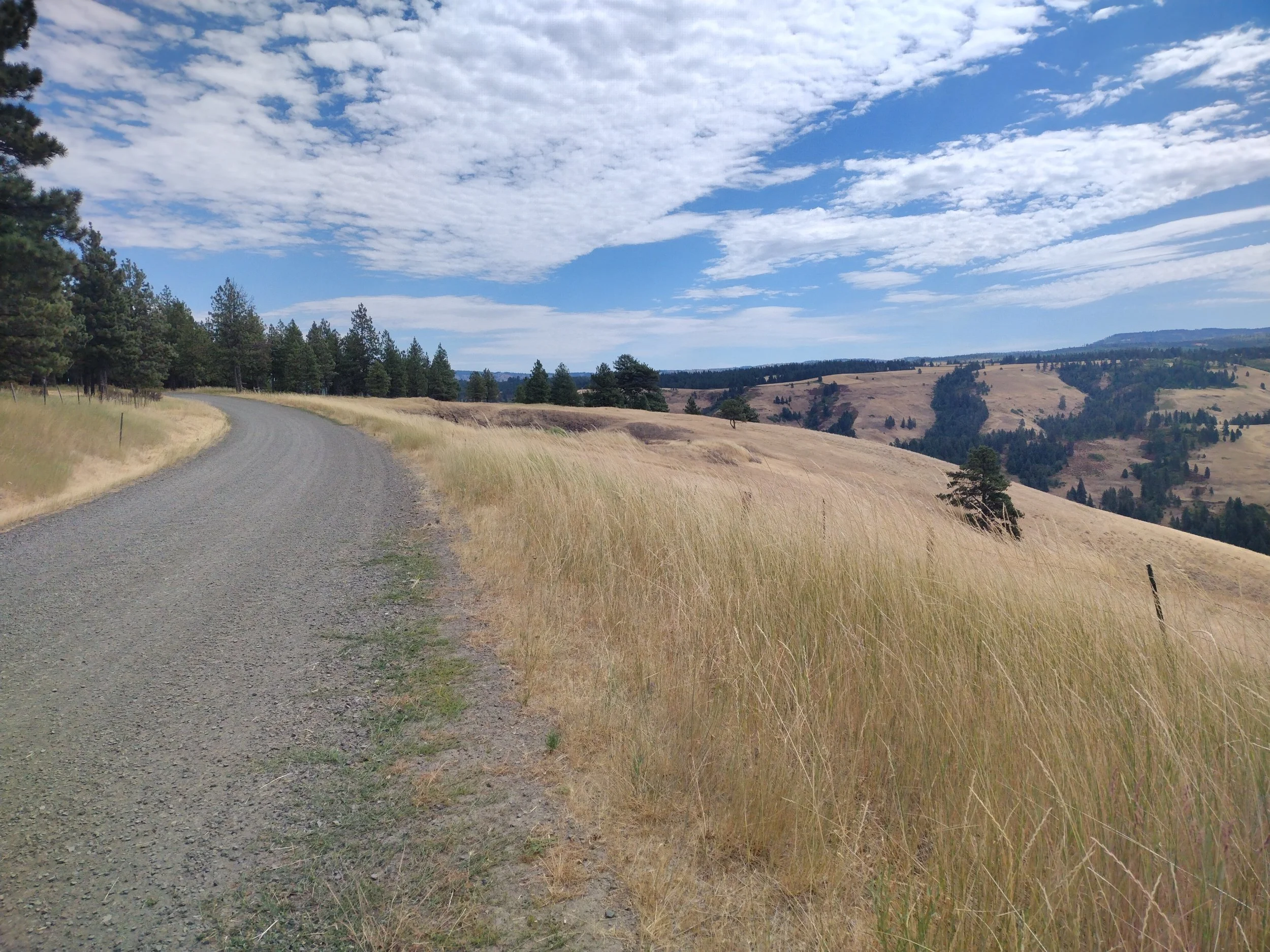
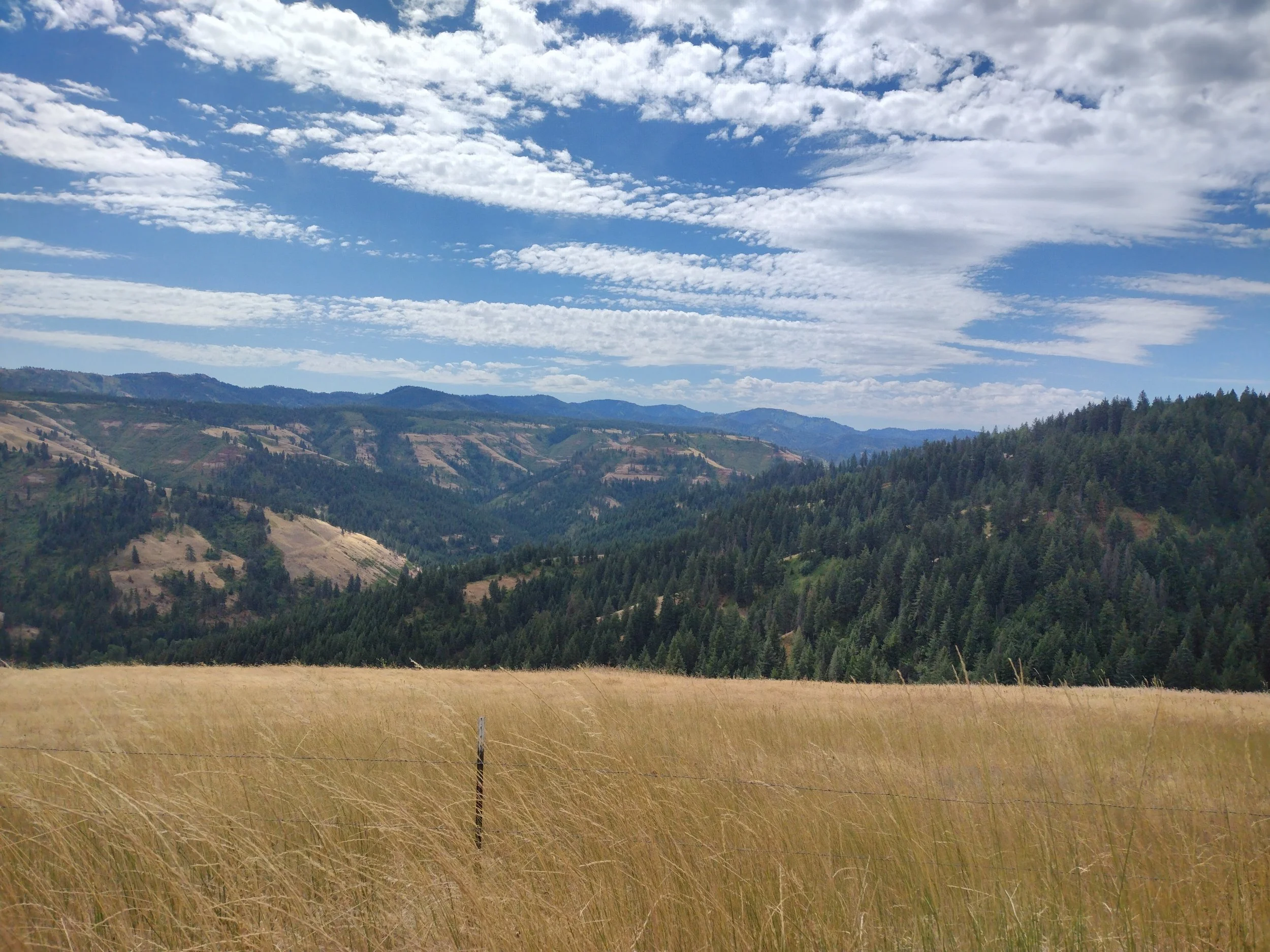
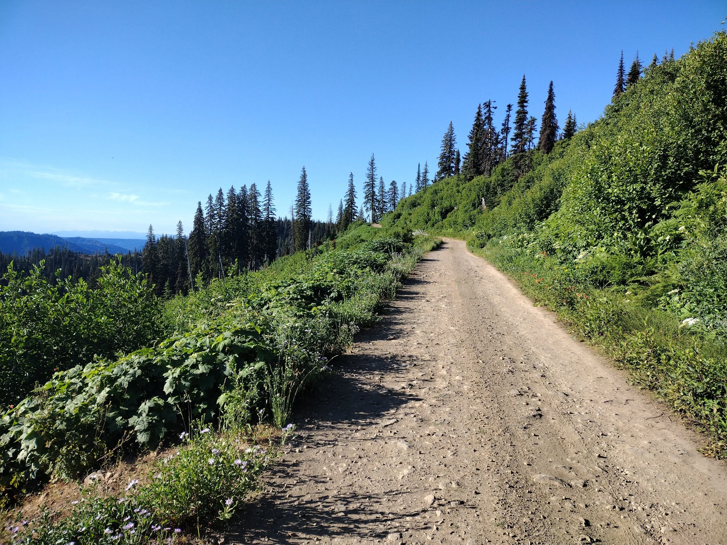
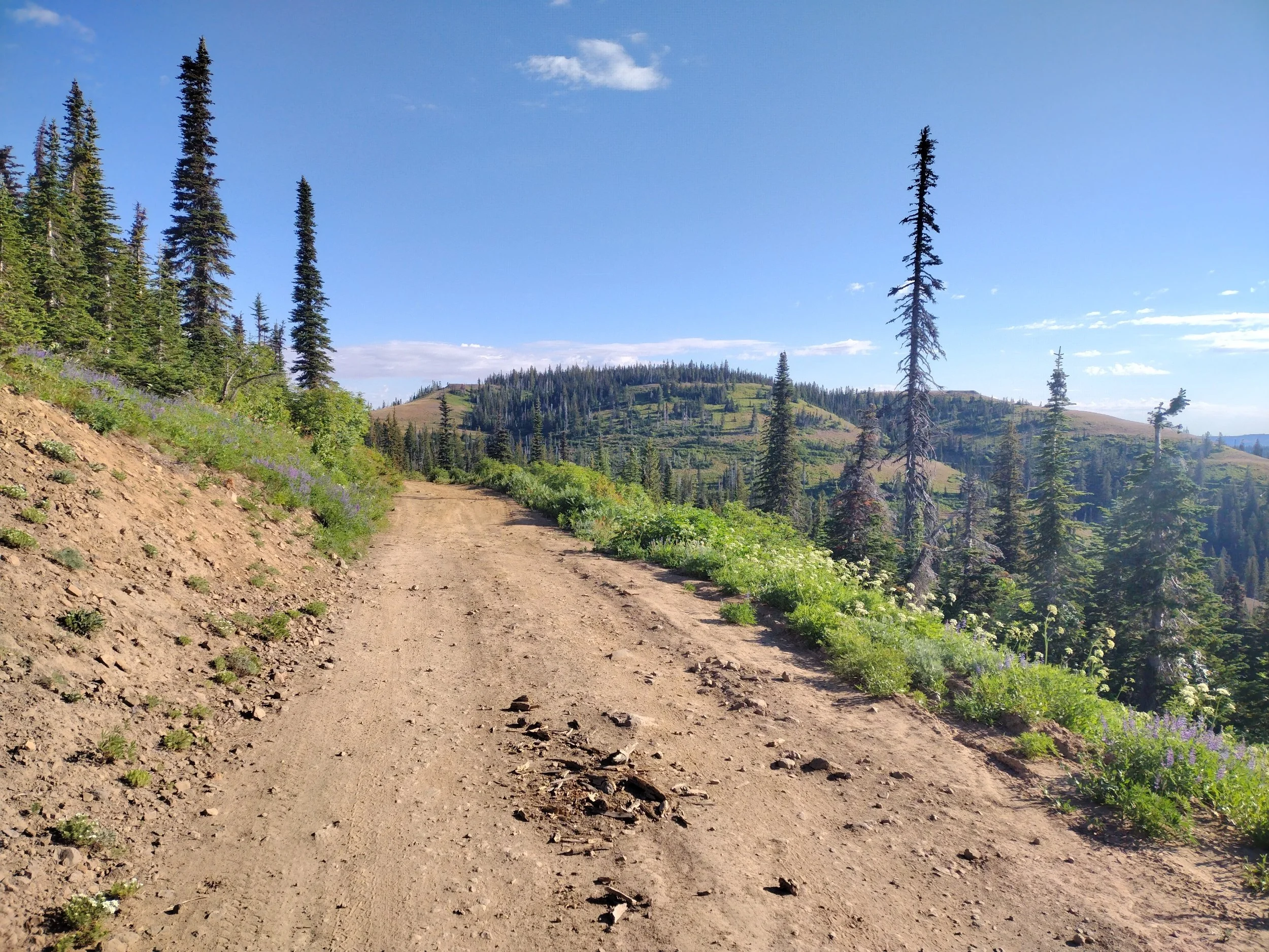
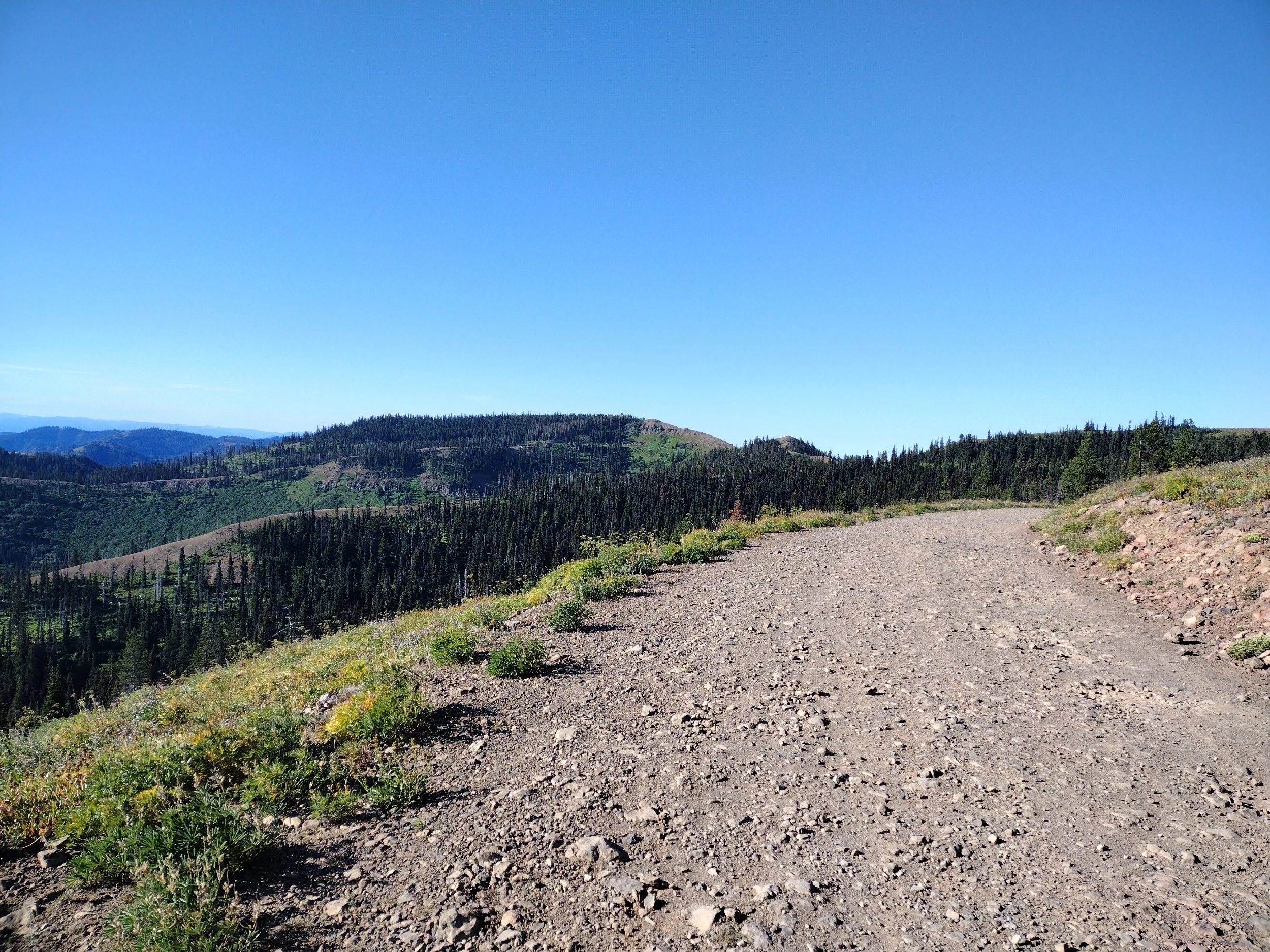
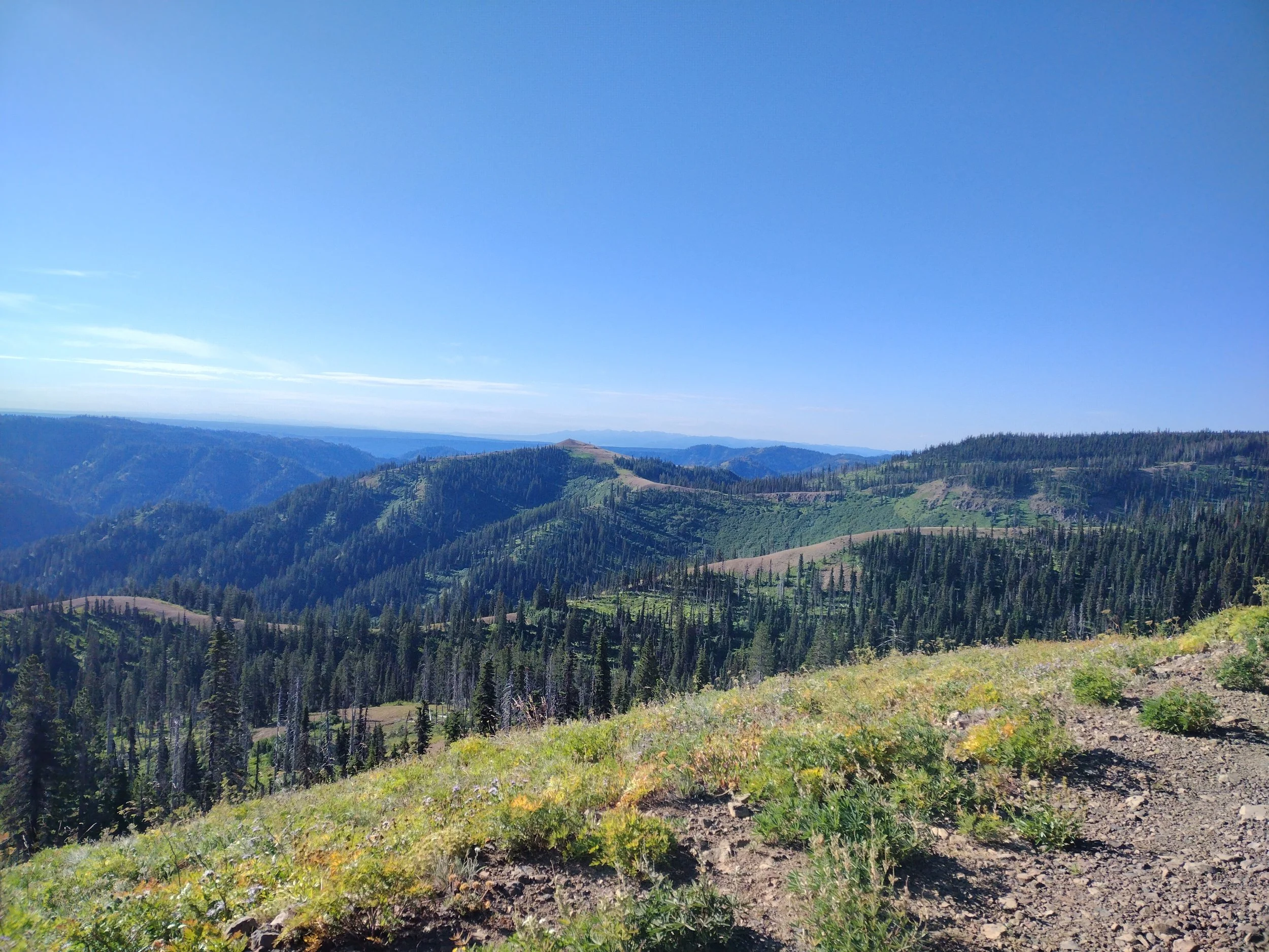
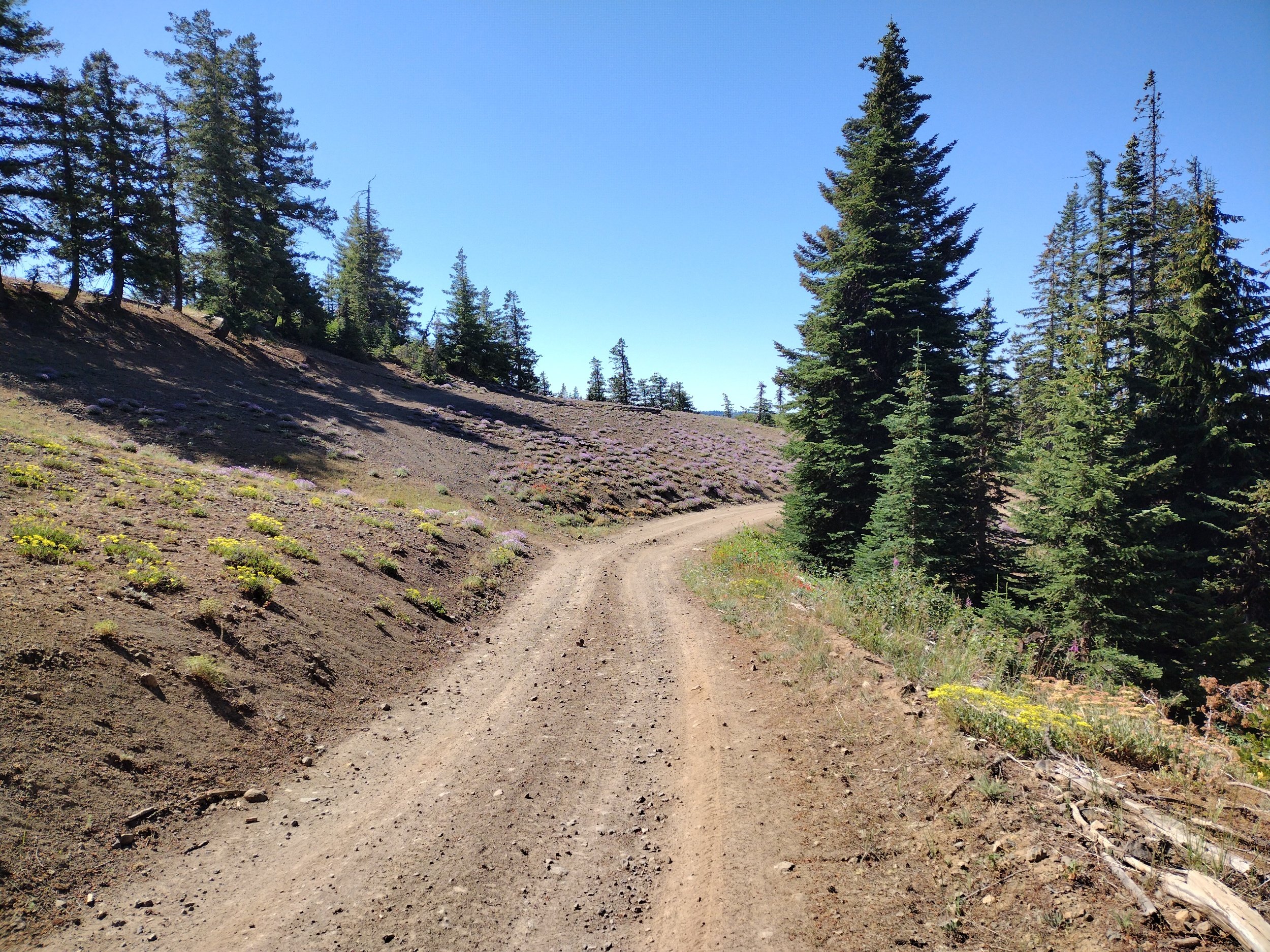
After the Skyline road passes Bluewood it’s pretty nice road for a few more miles and then it turns into more of a jeep-track with chunky rocky sections and some other large rutted sections. When I was younger, my parents took our family on a drive to travel this same route of the Kendall Skyline Road so I have some faint memories of that trip over 30yrs ago. The mountain bike is certainly a good tool for traveling this section of rough road. The road starts a significant climb once on the rougher track, but the views here are really amazing. Here is where the road becomes the sliver of legal bike access that I mentioned earlier. The west side of the road is the Mill Creek Watershed and is closed to all public access. The East side of the road is the Wenaha-Tucannon Wilderness where bikes and roads are not allowed so this section of road provides access to this wild terrain.
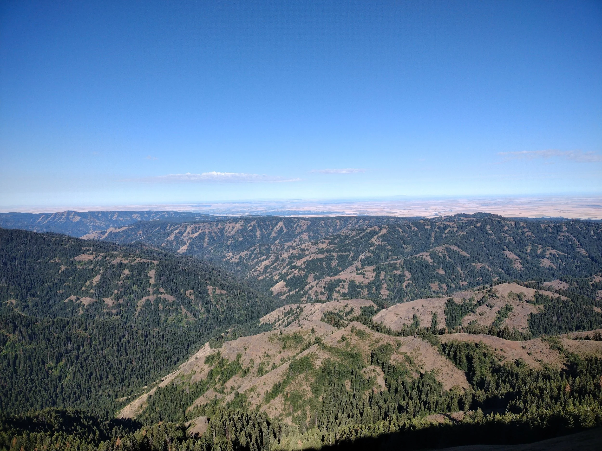
Skyline Views
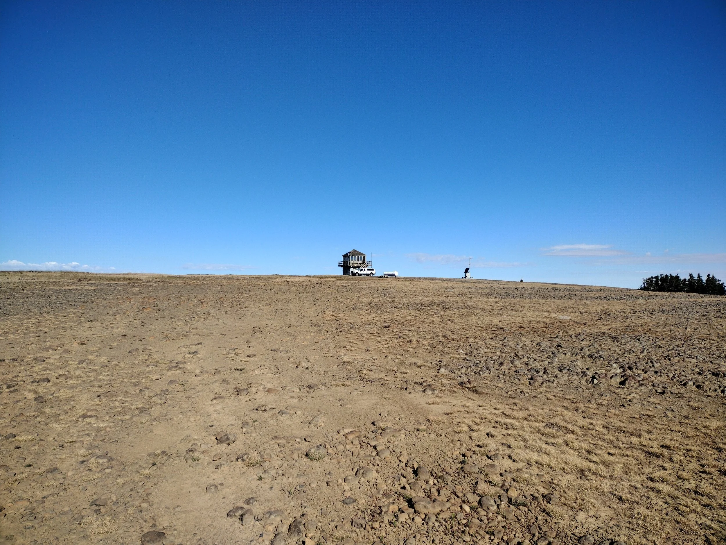
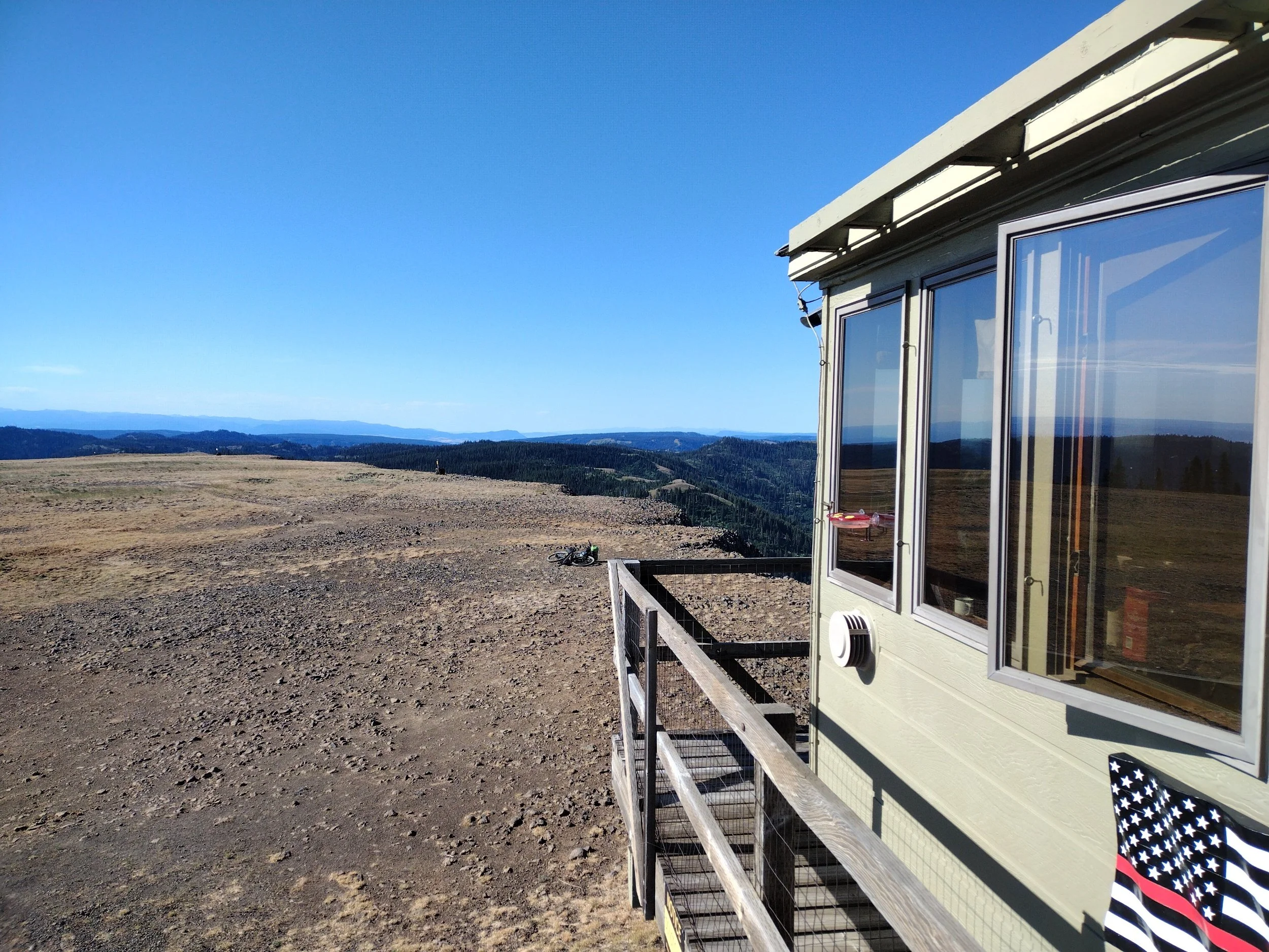
A few more miles down the road is the short side road up to Table Mountain where an active fire lookout is still in use. I turned off the main road and climbed up to Table Mtn. This road got really rough near the summit and it was the only place I had to push my bike on the whole loop. I do remember Table Mtn. from our family trip over 30yrs ago, and I remember seeing a huge elk on top of the table summit. When I reached the lookout I chatted with the guy working at the lookout for the summer. It was good to chat with someone and he was one of only three folks that I came across on the whole stretch to Tollgate (I passed one pickup truck going the other direction and a dirt-bike moto passed me going the same direction).
Table Mtn. Lookout
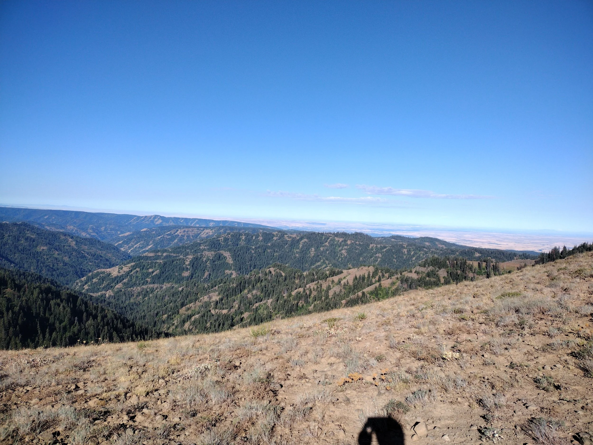
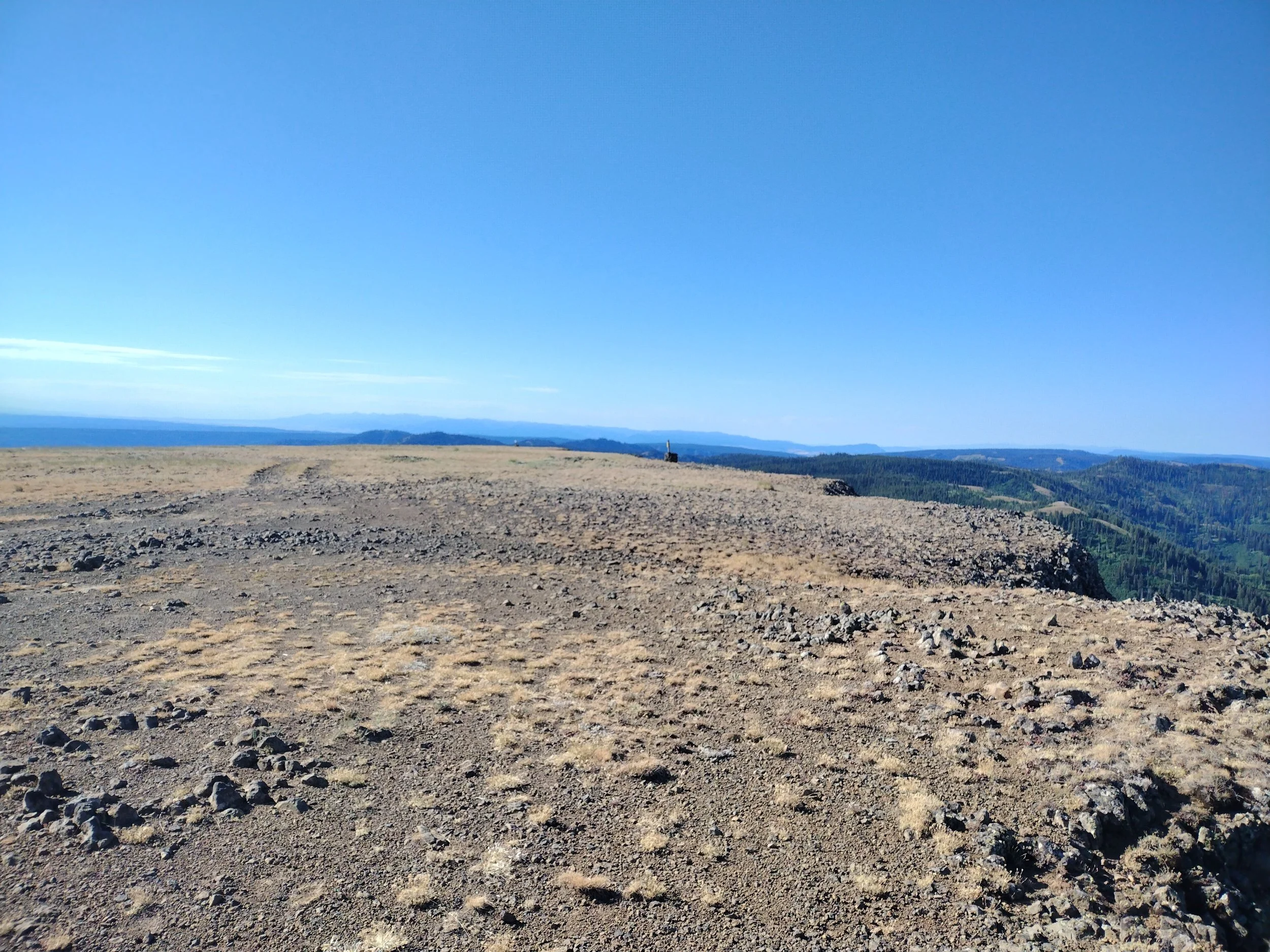
Soon after Table Mtn. I got a quick glimpse of a wolf that was running up the ridge above me. The next 30ish miles on the way to Tollgate consist of a lot of undulating terrain with many shorter climbs and descents. The scenery is nice and the wildflowers were blooming during this time. It was another long slog, but I eventually made it back out onto paved road near Bald Mtn. and covered some quick miles to finally arrive at the Tollgate store. I stopped for a cold drink, snacks, and a dish of ice-cream and filled my water for the remainder of the trip.
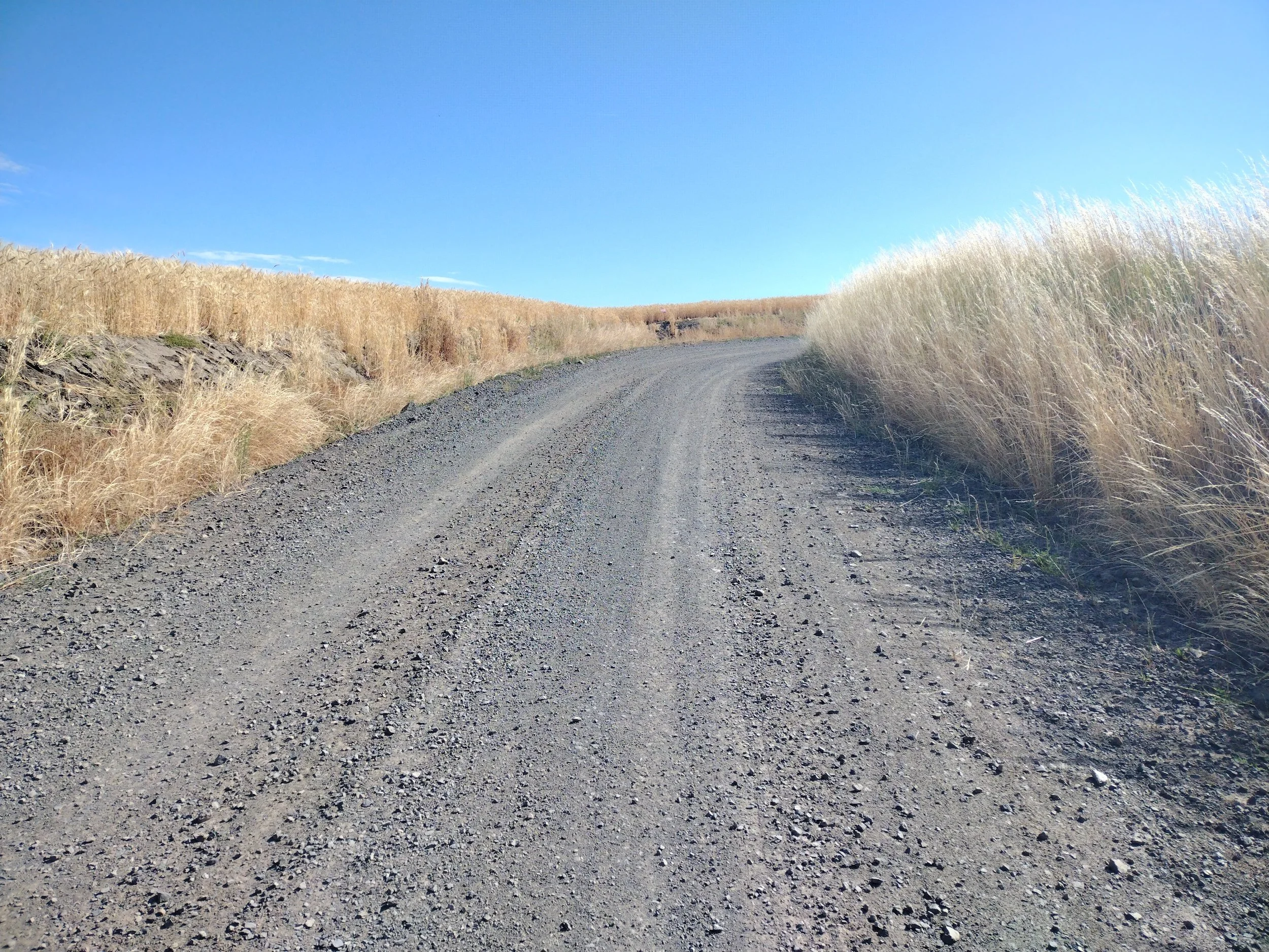
After my break at the Tollgate store I hoped back on the bike for a ripping fast descent for a few miles on the highway and then I turned off on Lincton Mtn. road for more descending on fast gravel down to the Walla Walla river canyon. After the long descent I was back on pavement for most of the remainder of the ride. It’s a few more miles along the WW river into the town of Milton-Freewater where fast-food and other options are available to resupply. I chose not to stop since I had recently stopped back up the hill at Tollgate.
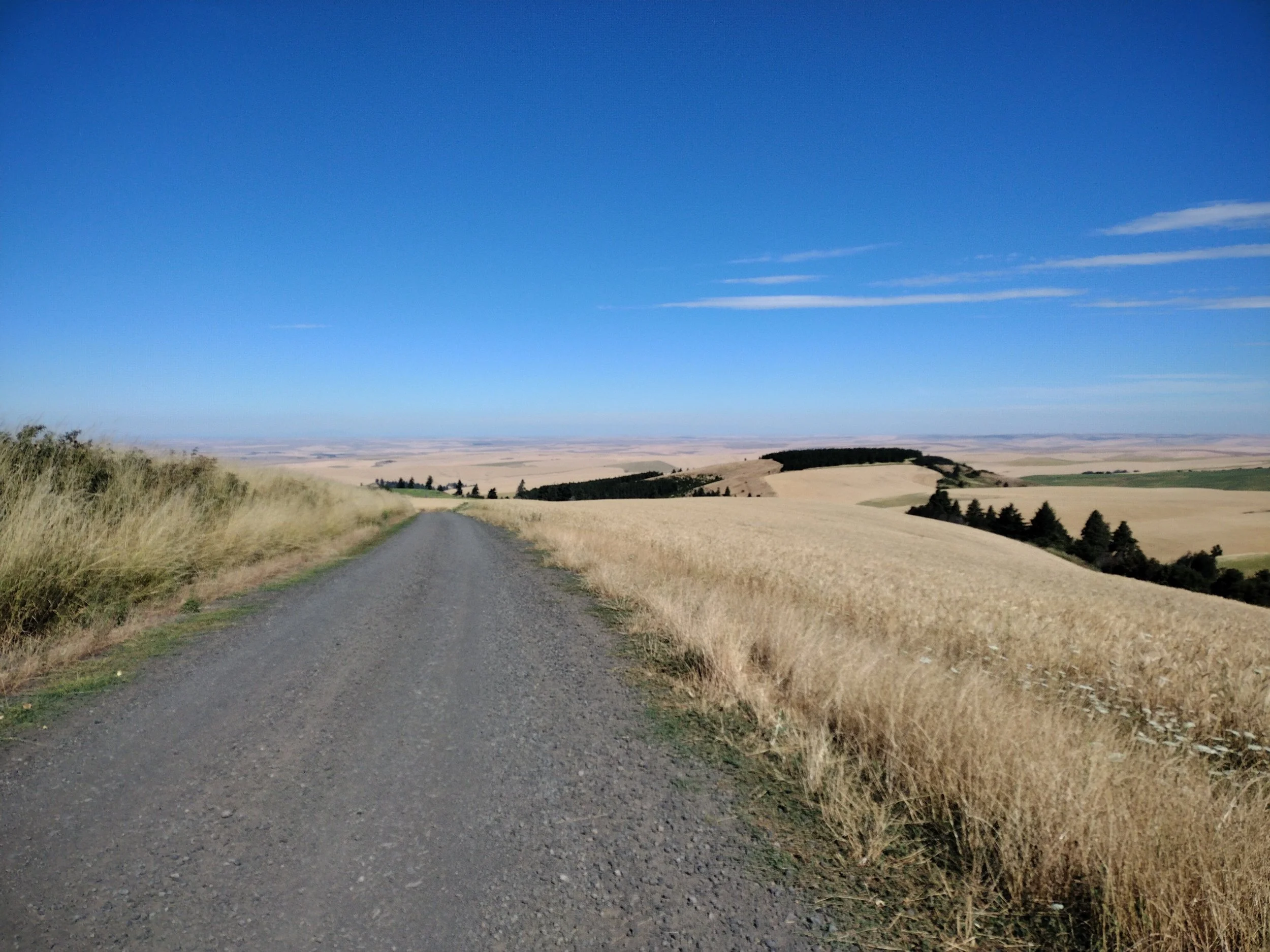
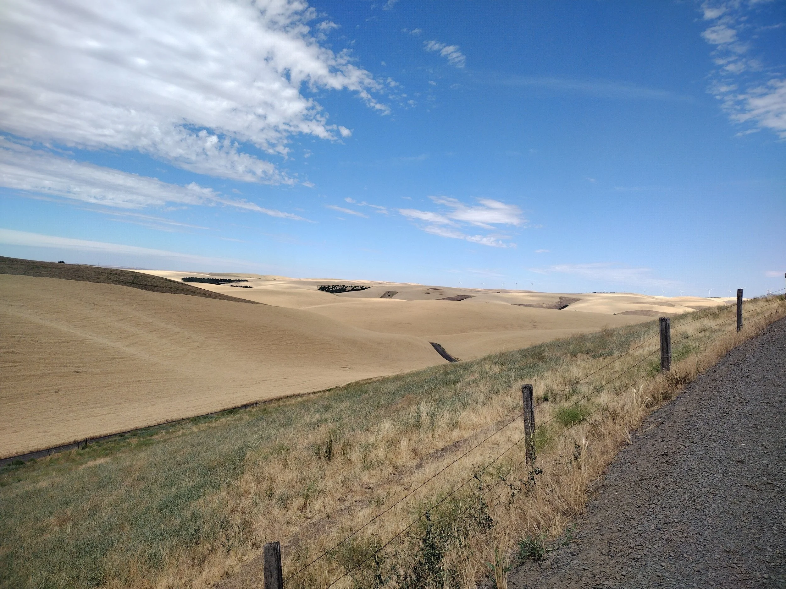
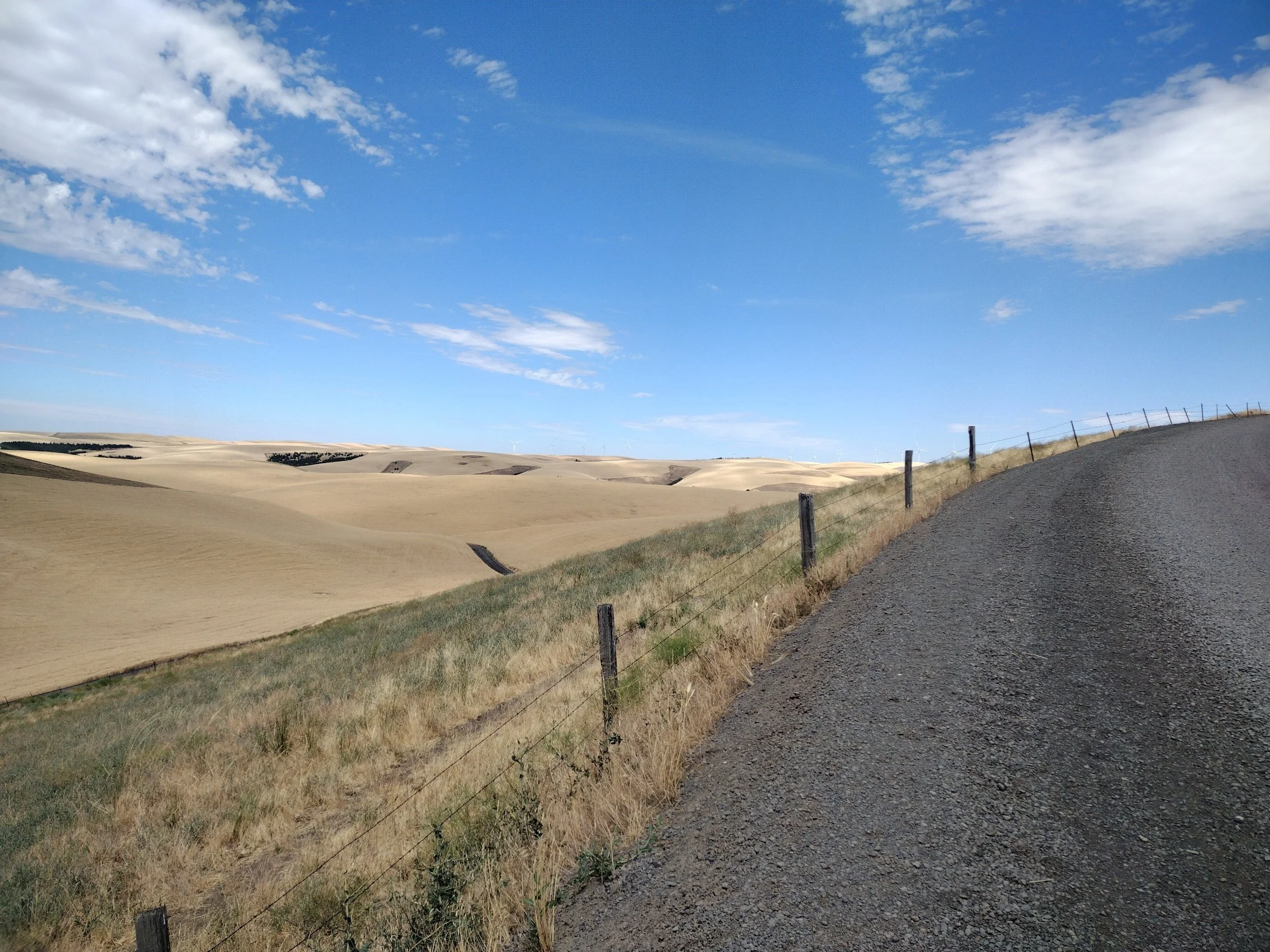
After Milton-Freewater my route followed some quiet farm roads through the Walla Walla valley to make my way back to where I started. I had some great views of the Blue Mtns. to the East and could look up and see where I had rode earlier that day. I think I could see the Table Mtn. lookout from the valley at one point and was envisioning the lookout keeper who I met that morning watching me ride with his high powered binoculars from high above.
This section also brought back some old memories for me. When I was in college I spent part of my summers living with my grandparents in Walla Walla because of my job. I worked for a frozen food processor in Walla Walla that processed frozen green peas (and other crops). The company would contract with many of the local farmers in the valley to harvest their green pea fields. At that time, the dry-land (non irrigated fields) farmers would primarily alternate crops each year between green peas and wheat. My job for several summers was to drive a combine to harvest green peas. It’s kind of like mowing a really huge lawn, but with a really complicated lawn mower. My bike ride was now taking me through many fields that I had previously helped harvest many years ago. This year, it looked like some fields were previously harvested pea fields, but I’m not sure if they were green peas or dry peas. When I got closer to town I decided that I’ll ride my bike on some roads that I used to run frequently while living at my grandparents and then I’ll ride by my grandparents old house and the park where my grandparents would take me to feed the ducks and look at the aviary of birds (Pioneer Park). It was a good trip down memory lane and I thought of many fun times playing with my cousins in my grandparents yard and fun family gatherings at that house. Overall, a great way to wrap up a challenging but fantastic weekend warrior bike ride. If you are interested in the route send me a note and I’ll send it to you. Happy trails!
A good web resource for outdoor adventures in this area is: https://outsidewallawalla.com/


If you enjoy this site and want to contribute please consider a donation. Thanks for reading!